Date of Formation: Sirsa District was carved out of Hissar District on 1st September 1975.
Area: 4277 square kilometers
Density of Population: 303 people per square kilometer
Literacy Rate: 70.40 % - Male: 78.60 %, Female: 61.20 %
Male Female Ratio: 1000:896
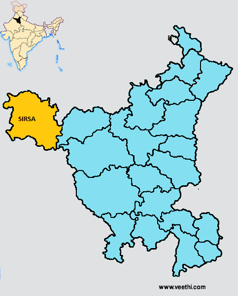
Boundaries of Sirsa District
North: Faridkot District, Punjab
North East: Bathinda District, Punjab
South and West: Ganga Nagar District, Rajasthan
East: Hisar District, Haryana
Sirsa District Average Rainfall: 293.5 mm
Sirsa District Average Temperature in Summer: 34.58 deg C
Sirsa District Average Temperature in Winter: 14.18 deg C
SIRSA DISTRICT MAP
Tehsils: Sirsa, Ellenabad
Blocks: Bahadurgarh, Dhudian Wali, Ellenabad, Nathusari Chopta, Odhan, Rania, Sirsa
Assembly Constituencies: Kalanwali, Dabwali, Rania, Sirsa, Ellenabad
Sirsa District Nearby Attractions
1. Surkhab
2. Shikra
3. Kala Teetar
4. Arnian Wali
5. Sikander Pur
6. Dera Sacha Sauda
7. Dera Sufi Saint Baba Bhuman
8. Radha Swami Satsang Ghar
9. Ram Dev Mandir
10. Dera Jiwan Nagar
11. Gurudwara Guru Gobind Singh
Sirsa District Facts: This is one of the two most backward districts of Haryana receiving funds from the Backward Regions Grant Fund Program. NH 10 passes through this district.
Major Agricultural Products: Wheat, gram, barley, mustard
Major Industries: B.G. Finance and Industries Ltd, Gopi Chand Textile Mills, Hafed Cotton Ginning and Pressing Factory, Milk Chilling Center, Jagdambe Paper Industries
Major Educational Institutions: Jannayak Ch. Devilal Engineering College, C.M.K. National P.G. College, Mata Harki Devi College, Janta Girls College, Ch. Devilal Dental College, J.J. College of Education, Triveni College of Education, Shah Satnamji College
What is Sirsa District Famous For: Cotton ginning
Famous People From Sirsa District: Ajay Singh Chautala, Atma Singh Gill, Arjun Singh Gurjar, Chaudhary Devi Lal, Om Prakash Chauthala
Last Updated : Saturday Jun 9 , 2012


