Date of Formation: 1st November 1966
Area: 2520 square kilometers
Density of Population: 598 people per square kilometer
Literacy Rate: 76.40 % - Male: 83.70 %, Female: 68.30 %
Male Female Ratio: 1000:886
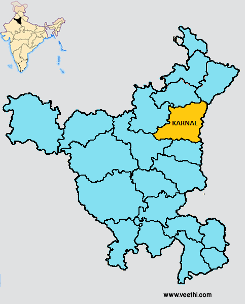
Boundaries of Karnal District
North West: Kurukshetra District, Haryana
South: Panipat District, Haryana
East: Uttar Pradesh
West: Jind District and Kaithal District, Haryana
Karnal District Average Rainfall: 571.3 mm
Karnal District Average Temperature in Summer: 33.04 deg C
Karnal District Average Temperature in Winter: 14.02 deg C
KARNAL DISTRICT MAP
Major Rivers: River Yamuna
Tehsils: Karnal, Nilokheri, Indri, Gharaunda, Assandh
Blocks: Assandh, Gharaunda, Indri, Karnal, Nilokheri, Nising
Assembly Constituencies: Nilokheri, Indri, Karnal, Gharaunda, Assandh
Karnal District Nearby Attractions
1. Cantonment Church Tower
2. Basthali
3. Sita Mai Temple
4. Dargah Nuri
5. Miran Sahibs Tomb
6. Gondar
7. Shamgarh
8. Kalander Shah Tomb
9. Gurudwara Manji Sahib
10. Devi Temple
11. Kunjpura
Karnal District Facts: NH 1 passes through this district.
Major Agricultural Products: Paddy, sugarcane, cotton, bajra, moong, wheat, gram, pulses, oilseeds
Major Industries: Footwear, leather, rice, milk products, sugar, floriculture, wire netting, soap making
Major Educational Institutions: Doon Valley Institute of Pharmacy and Medicine, Gyan Bharti College of Education, Doon Valley Institute of Engineering and Technology, Gandhi School of Nursing, Gandhi College of Pharmacy, Dr. Ganesh Dass DAV College of Education for Women, Green Wood College of Education, JK Institute of Management and Technology
What is Karnal District Famous For: Leather and leather products
Famous People From Karnal District: Manju Jaidka
Last Updated : Saturday Jun 9 , 2012


