Date of Formation: On 1st November 1989, it was created out of Kurukshetra District.
Area: 2317 square kilometers
Density of Population: 463 people per square kilometer
Literacy Rate: 70.60 % - Male: 79.30 %, Female: 60.70 %
Male Female Ratio: 1000:880
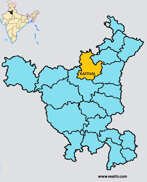
Boundaries of Kaithal District
North and North West: Punjab
South and South West: Jind District, Haryana
East: Karnal District and Kurukshetra District, Haryana
Kaithal District Average Rainfall: 487.5 mm
Kaithal District Average Temperature in Summer: 33.44 deg C
Kaithal District Average Temperature in Winter: 14.12 deg C
KAITHAL DISTRICT MAP
Major Rivers: River Saraswati
Tehsils: Guhna, Kaithal
Blocks: Guhna, Kaithal, Kalayat, Pundri, Rajound
Assembly Constituencies: Guhna, Kalayat, Kaithal, Pundri
Kaithal District Nearby Attractions
1. Brick Temples
2. Dargah of Baba Shah Kamal Kadri
3. Gyarah Rudri Temple
4. Phelgu Tank
5. Tomb of Razia Sultana
6. Geeta Bhawan Mandir
7. Gurudwara Sahib
8. Hanuman Mandir
9. Pehowa Chowk
Kaithal District Facts: NH 65 passes through this district.
Major Agricultural Products: Paddy, wheat, bajra, cotton, sugarcane
Major Industries: Food processing, agro based industries, paper products, textiles, chemical industries, electric and electronic industries
Major Educational Institutions: Shri Ram College of Education, Haryana College of Technology and Management, Maharaja Aggrasain College of Education, R.K.S.D. College of Pharmacy, Saraswati Institute of Management and Technology, Savitri Devi Memorial College of Education
What is Kaithal District Famous For: Its Galaxy Bakery with awesome cakes, pastries and cookies
Famous People From Kaithal District: Jai Prakash, Manoj Kumar, Chaudhary Ishwar Singh
Last Updated : Saturday Jun 9 , 2012


