Area: 1215 square kilometers
Density of Population: 1241 people per square kilometer
Literacy Rate: 84.40 % - Male: 90.30 %, Female: 77.60 %
Male Female Ratio: 1000:853
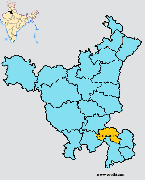
Boundaries of Gurgaon District
North: Jhajjar District, Haryana and Delhi
South: Uttar Pradesh and Rajasthan
East: Faridabad District, Haryana
West: Rewari District, Haryana
Gurgaon District Average Rainfall: 575.6 mm
Gurgaon District Average Temperature in Summer: 33.11 deg C
Gurgaon District Average Temperature in Winter: 14.46 deg C
GURGAON DISTRICT MAP
Sub Divisions: Gurgaon North, Gurgaon South , Pataudi
Tehsils: Gurgaon, Sohna, Pataudi, Farukhnagar, Manesar
Blocks: Farrukhnagar, Gurgaon, Pataudi, Sohna
Assembly Constituencies: Pataudi, Badshahpur, Gurgaon, Sohna, Nuh, Firozpur Jhirka, Punahana
Lakes: Damdama Lake, Dum Duma Lake
Gurgaon District Nearby Attractions
1. Dhankot
2. Saiyad
3. Ata
4. Sanghel
5. Ujina
6. Sultanpur Bird Sanctuary
7. Sultanpur National Park
Gurgaon District Facts: Gurgaon has the third highest per capita income next only to Chandigarh and Mumbai in India.
Major Agricultural Products: Wheat, mustard, bajra, paddy, guar, cucurbits, radish, carrot, bhindi, brinjal, guava, ber, mushroom
Major Industrial Units: Hughes Software, Tata Consultancy Service, Alcatel, HCL, Siemens, GE Capital, Silicon Graphics
Major Educational Institutions: Dronacharya College of Engineering, Gurgaon College of Engineering, Institute of Technology and Management, KIIT College of Engineering, World Institute of Technology, Al-Falah School of Engineering and Technology, Anupama College of Engineering, Ansal Institute of Technology
What is Gurgaon District Famous For: Wheat, gram, barley, bajra, jowar, oilseeds, fodder, vegetables
Famous People From Gurgaon District: Mansoor Ali Khan Pataudi, Sher Ali Khan Pataudi, Qazi Syed Mohammad Rafi, Sachin Rana, Kushal Pal Singh, Syed Mohammad Ashraf, Chandrakanta, V.K. Choudhry, Om Prakash Karhana
Last Updated : Saturday Jun 9 , 2012


