Area: 2772 square kilometers
Density of population: 854 people per square kilometer
Literacy Rate: 82.26 % - Male: 87.44 %, Female: 76.57 %
Male Female Ratio: 1000:911
Boundaries of Bhopal District
North: Guna District, Madhya Pradesh
North West: Rajgarh District, Madhya Pradesh
East and South East: Raisen District, Madhya Pradesh
West and South West: Sehore District, Madhya Pradesh
Bhopal District Average Rainfall: 709 mm
Bhopal District Average Temperature in Summer: 34.26 deg C
Bhopal District Average Temperature in Winter: 18.68 deg C
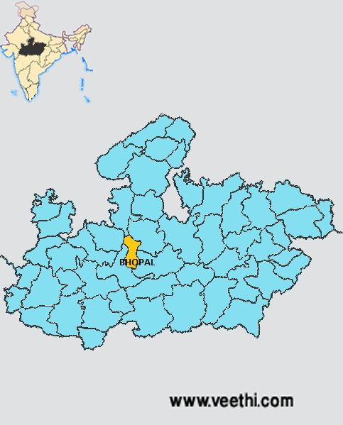
BHOPAL DISTRICT MAP
Major Rivers: Narmada, Betwa
Taluks: Berasia, Huzur
Assembly Constituencies: Berasia, Bhopal Dakshin-Paschim, Bhopal Madhya, Bhopal Uttar, Govindpura, Huzur, Narela
Bhopal District Nearby Attractions
1. Taj Ul Masjid
2. Jama Masjid
3. Idgah
4. Van Vihar
5. Fish Aquarium
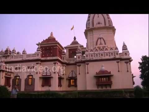
6. Birla Mandir
7. Regional Science Center
8. Shaukat Mahal and Sadar Manzil
9. Bharat Bhawan
10. Manav Sangrahalaya
11. Upper Lake
12. Gufa Mandir
13. Khatlapura Mandir
14. Capital’s Park
15. BHEL Township
16. Lower Lake
Bhopal District Facts: Bhopal is known as city of lakes. It is the capital of Madhya Pradesh state. Bhopal Gas Tragedy happened on 2nd December 1984 at Union Carbide India Ltd pesticide plant took a toll of more than 5000 people and is considered as the biggest tragedy of its kind in India to date.
Major Agricultural Products: Wheat, soybean
Major Industries: D K Insulation Industries, DAuto Design Services, People Alliance, Googolplex Ventures India Pvt Ltd, East Tech Labs, Iconic Envirotech Pvt Ltd
What is Bhopal District Famous For: Gas Tragedy
Famous People From Bhopal District: Sanjay Chauhan, Ashok Mathur, Iftikhar Ali Khan Pataudi, Munshi Hakimuddin, Saurabh Verma, Jai Yadav, Advocate Nasiruddin, Javed Akhtar
Last Updated : Friday Jun 15 , 2012