Date of formation: 1st November 1956
Area: 5048 square kilometers
Density of population: 286 people per square kilometer
Literacy Rate: 62.57 % - Male: 73.30 %, Female: 50.71 %
Male Female Ratio: 1000:901
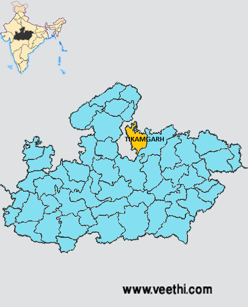
Boundaries of Tikamgarh District
North: Jhansi District, Uttar Pradesh
South East and East: Chhatarpur District, Madhya Pradesh
West: Lalitpur District, Uttar Pradesh
Tikamgarh District Average Rainfall: 733.63 mm
Tikamgarh District Maximum Temperature in Summer: 43 deg C
Tikamgarh District Minimum Temperature in Winter: 29 deg C
TIKAMGARH DISTRICT MAP
Major Rivers: Betwar River, Dhasan River, Jamni, Bagri, Barua
Tehsils: Tikamgarh, Prithvipur, Jatara, Baldeogarh, Niwari, Palera, Badagaon
Assembly Constituencies: Jatara, Khargapur, Niwari, Prithvipur, Tikamgarh
Tikamgarh District Nearby Attractions
1. Orchha
2. Kundeshwar
3. Baldeogarh
4. Kudar
5. Jatara
6. Madkhera
7. Niwari
8. Palera
9. Papora Ji
10. Prithvipur
11. Umri
12. Achhroo Mata
Tikamgarh District Facts: It is one of the 24 most backward states of Madhya Pradesh that is receiving funds from the Backward Regions Grant Fund Program. NH 12 passes through this district.
Major Agricultural Products: Wheat, paddy, urad, makka, jowar, till
Major Industries: Wood works, handloom weaving, utensil making, lac ornaments, brick making
What is Tikamgarh District Famous For: Ram Raja Temple at Orchha
Famous People From Tikamgarh District: Bihari Lal, Keshavdas, Uma Bharti, Asgari Bai
Last Updated : Friday Jun 15 , 2012


