Area: 2691 square kilometers
Density of population: 292 people per square kilometer
Literacy Rate: 73.50 % - Male: 85.18 %, Female: 60.21 %
Male Female Ratio: 1000:875
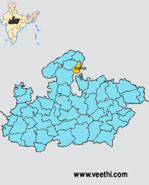
Boundaries of Datia District
North: Bhind District, Madhya Pradesh
South: Shivpuri District, Madhya Pradesh
East: Jhansi District, Uttar Pradesh
West: Gwalior District, Madhya Pradesh
Datia District Average Rainfall: 603.8 mm
Datia District Average Temperature in Summer: 34.17 deg C
Datia District Average Temperature in Winter: 15.62 deg C
DATIA DISTRICT MAP
Major Rivers: Sind, Pahuj, Mahuar, Betwa
Tehsils: Datia, Seondha, Bhander
Assembly Constituencies: Bhander, Datia, Sewda
Datia District Nearby Attractions
1. Peetambra Peeth
2. Sonagiri Temples
3. Beer Singh Deo Mahal
4. Unao Balaji Sun Temple
5. Rajgarh Palace and Museum
6. Gujarra
7. Badoni
8. Seondha
9. Bhander
10. Botonical Garden
11. Pancham Kavi Ki Toriya
12. Udnu Ki Toriya
Datia District Facts: When traveling from Gwalior to Jhansi, the Purana Mahal is visible from the train which was built by King Jahangir. The district is made up of southern hilly region, north and central hilly region and central plain region. This is the smallest district of Madhya Pradesh.
Major Agricultural Products: Food grains, cotton products
Major Industries: Handloom weaving
What is Datia District Famous For: Seven storied palace built by Raja Beer Singh Deo in 1614
Famous People From Datia District: Wrestler The Great Gama
Last Updated : Friday Jun 15 , 2012


