Area: 312 square kilometers
Density of Population: 852 people per square kilometer
Literacy Rate: 62.49 % - Male: 71.86 %, Female: 52.77 %
Male Female Ratio: 1000:951
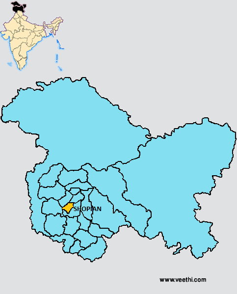
Boundaries of Shopian District
North: Pulwama District and Budgam District, Jammu and Kashmir
South, East and South West: Kulgam District, Jammu and Kashmir
West: Poonch District, Jammu and Kashmir
Shopian District Average Rainfall: 861 mm
Shopian District Average Temperature in Summer: 26 deg C
Shopian District Average Temperature in Winter: 7 deg C
SHOPIAN DISTRICT MAP
Major Rivers: River Jhelum
Shopian District Nearby Attractions
1. Aharbhal Waterfalls
2. Kounsernag Waterfalls
3. Lahanthour Falls
4. Sedow Falls
5. Herpora Falls
6. Jama Masjid
7. Aasar-i-Sharief Dargah at Pinjura
Shopian District Facts: It is located at an elevation of 2057 meters above mean sea level.
Major Educational Institutions: Degree College of Boys and Girls, Wintech Computer Education Shopian, National Innovations Public School, Mohammadiya Institute, Shah-i-Hamdan School, Green Land Educational Institutions, Maktabia Islamia School, Spring Dales Public School, Sky Lark Public School, Ameer Kabeer Memorial Institute, Sun Shine Public School
Famous People From Shopian District: Mohammad Yousuf Taing, Ayub Thakur
Last Updated : Thursday Jun 14 , 2012


