Date of Formation: Ganderbal District was carved out of Srinagar District in April 2007.
Area: 258 square kilometers
Density of Population: 1151 people per square kilometer
Literacy Rate: 59.99 % - Male: 70.74 %, Female: 47.62 %
Male Female Ratio: 1000:869
Boundaries of Ganderbal District
North: Bandipora District, Jammu and Kashmir
South: Srinagar District and Anantnag District, Jammu and Kashmir
East: Kargil District, Jammu and Kashmir
West: Baramulla District, Jammu and Kashmir
Ganderbal District Average Rainfall: 794 mm
Ganderbal District Average Temperature in Summer: 20 deg C
Ganderbal District Average Temperature in Winter: 1 deg C
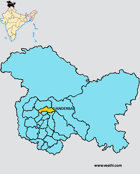
GANDERBAL DISTRICT MAP
Major Rivers: River Neelum, Nallah Sindh River
Tehsils: Ganderbal, Kangan, Lar
Blocks: Ganderbal, Kangan, Lar, Wakoora
Assembly Constituencies: Kangan, Ganderbal
Lakes: Vishansar Lake, Gadsar Lake, Mansabal Lake, Gangabal Lake
Ganderbal District Nearby Attractions
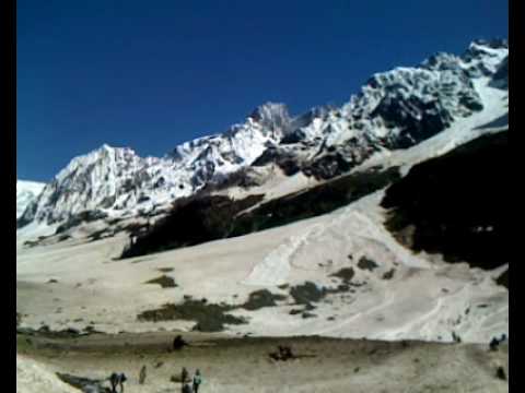
1. Sonamarg
2. Manasbal Lake
3. Harmukh
4. Gangabal Lake
5. Naranag Temple
6. Kheer Bhawani
Ganderbal District Facts: The Manasbal Lake here is one of the largest natural stamping grounds of many varieties of aquatic birds found in the state. Hence this is known as the Supreme Gem of Kashmir Lakes.
Major Educational Institutions: Central University of Kashmir, SKUAST Faculty of Fisheries, SKUAST Faculty of Forestry, Government Degree College, Sainik School, Dream Land School, Qamria Higher Secondary School, Vijay Memorial School
What is Ganderbal District Famous For: Manasbal Lake and Mughal Garden
Famous People From Ganderbal District: Mian Bashir Ahmed
Last Updated : Thursday Jun 14 , 2012