Date of Formation: Khurda District was created out of Puri District on 1st April 1993.
Area: 2813 square kilometers
Density of Population: 799 people per square kilometer
Literacy Rate: 87.51 % - Male: 92.55 %, Female: 82.06 %
Male Female Ratio: 1000:925
Boundaries of Khurda District
North: Cuttack District, Orissa
South: Ganjam District, Orissa and Bay of Bengal
East: Puri District and Jagatsinghpur District, Orissa
West: Nayagarh District, Orissa
Khurda District Average Rainfall: 1664.4 mm
Khurda District Average Temperature in Summer: 41.4 deg C
Khurda District Average Temperature in Winter: 9.5 deg C
KHURDA DISTRICT MAP

Major Rivers: River Kuakhai, River Daya
Sub Divisions: Bhubaneswar, Khurda
Tehsils: Banapur, Bhubaneswar, Khurda
Blocks: Khurda Sadar, Balipatana, Banapur, Balianta, Balugaon, Tangi, Begunia , Jatni, Bhubaneswar, Bolgarh
Assembly Constituencies: Jayadev, Bhubaneswar Central, Bhubaneswar North, Ekamra-Bhubaneswar, Jatni, Begunia, Khurda, Chilika
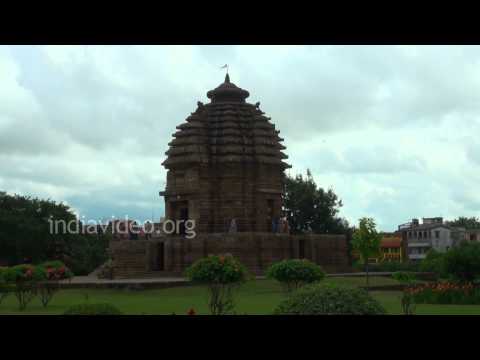
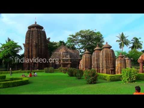
Khurda District Nearby Attractions
1. Atri
2. Bhubaneswar
3. Barunei
4. Chilka
5. Dhauli
6. Khandagiri and Udayagiri
7. Lingaraj Temple
8. Nandan Kanan Zoo
9. Kaipadar
10. Deras and Jhumka
11. Shishupalgarh
12. Shikharchandi
Khurda District Facts: Khurdagada is the last independent fort of India.
Major Agricultural Products: Wheat, maize, ragi, green gram, ground nut, mustard, potato, jute, sugarcane
Major Industries: Cable factory, spinning mill, watch factory, railway coach repairing factory, oil industry
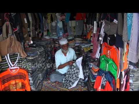
What is Khurda District Famous For: Brass utensils
Famous People From Khurda District: Pragyan Ojha, J. B. Pattanaik, Loknath Mishra, Govaris Mishra, Krusna Chandra Tripathy, Harihar Ram
Last Updated : Sunday Jun 10 , 2012