Date of Formation: Koraput District became a part of Orissa state on 1st April 1936.
Area: 8807 square kilometers
Density of Population: 156 people per square kilometer
Literacy Rate: 49.87 % - Male: 61.29 %, Female: 38.92 %
Male Female Ratio: 1000:1031
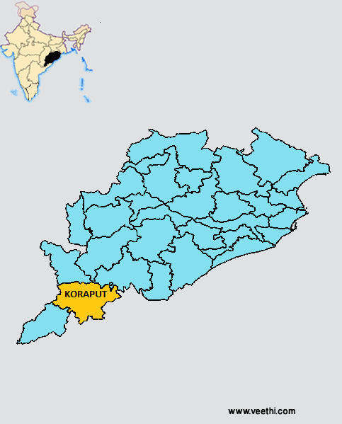
Boundaries of Koraput District
North: Nabarangpur District, Kalahandi District and Rayagada District, Orissa
South and East: Andhra Pradesh
West: Andhra Pradesh
South West: Malkangiri District, Orissa
Koraput District Average Rainfall: 1334.6 mm
Koraput District Average Temperature in Summer: 30.41 deg C
Koraput District Average Temperature in Winter: 20.29 deg C
KORAPUT DISTRICT MAP
Major Rivers: Machhakunda River, Bansadhara River, Kolab River
Sub Divisions: Koraput, Jaypur
Tehsils: Koraput, Nandapur, Boriguma, Jaypur, Kotpad, Machakunda
Blocks: Jeypore Sadar, Kundura, Kotpad, Boriguma, Pattangi, Nandapur, Laxmipur, Semiliguda, Baipariguda, Lambatraput, Narayan Patna, Dasamantapur, Koraput Sadar
Assembly Constituencies: Laxmipur, Kotpad, Jeypore, Koraput, Pottangi
Waterfalls: Duduma, Bagra, Khandahati
Koraput District Nearby Attractions
1. Jeypore
2. Duduma Waterfall
3. Bagra
4. Gupteswar Shiv Temple
5. Nandapur
6. Deomali Hill
7. Bariniput
8. Batisnhasana and Ganesh Temple
9. Sabara Srikhetra
Koraput District Facts: It is one of the 19 most backward regions of Orissa that is receiving funds from the Backward Regions Grant Fund Program.
Major Agricultural Products: Paddy, finger millet, maize, niger, arhar, sugarcane, mango, brinjal, cashew nut, sweet potato, turmeric
Major Industries: Hindustan Aeronautics Limited, NALCO, BILT Jeypore, Kolab Hydroelectric Power Station, Machkund Hydroelectric Power Station
What is Koraput District Famous For: Jagannath Temple also known as Sabara Srihetra
Last Updated : Sunday Jun 10 , 2012


