Date of formation: On 1st January 1994, it was carved out of Sambalpur District.
Area: 2940 square kilometers
Density of population: 106 people per square kilometer
Literacy Rate: 73.07 % - Male: 82.62 %, Female: 63.36 %
Male Female Ratio: 1000:976
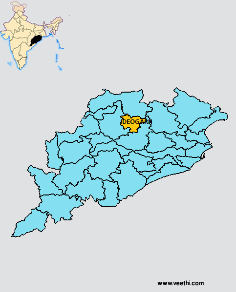
Boundaries of Deogarh District
North: Sundergarh District, Orissa
South and East: Angul District, Orissa
West: Sambalpur District, Orissa
Deogarh District Average Rainfall: 1529.9 mm
Deogarh District Average Temperature in Summer: 32.47 deg C
Deogarh District Average Temperature in Winter: 19.76 deg C
DEOGARH DISTRICT MAP
Major Rivers: Betwa River
Sub Divisions: Deogarh
Tehsils: Deogarh
Blocks: Deogarh Sadar, Barkote, Reamal, Teleibani
Assembly Constituencies: Deogarh
Deogarh District Nearby Attractions
1. Pradhanapat Waterfall on Padhanpat Hill
2. Nandan Hills
3. Naulakha Temple
4. Mandar Hills
5. Kundeshwari Temple
6. Nav Durga Temple
7. Tapovan
8. Trikut Hills
9. Harila Joria
10. Mahadeo Falls
Deogarh District Facts: This is the least populous district in Orissa. It is one of the 19 most backward districts in Orissa that is receiving funds from the Backward Regions Grant Fund Program.
Major Agricultural Products: Paddy, sesame, groundnut, black gram, green gram, chili, onion, mango, litchi
What is Deogarh District Famous For: Miniature paintings
Last Updated : Sunday Jun 10 , 2012


