Date of Formation: Sahibganj District was carved out of Santhal Parganas District on 17th May 1983.
Area: 1601 square kilometers
Density of population: 719 people per square kilometer
Literacy Rate: 53.73 % - Male: 62.65 %, Female: 44.31 %
Male Female Ratio: 1000:948
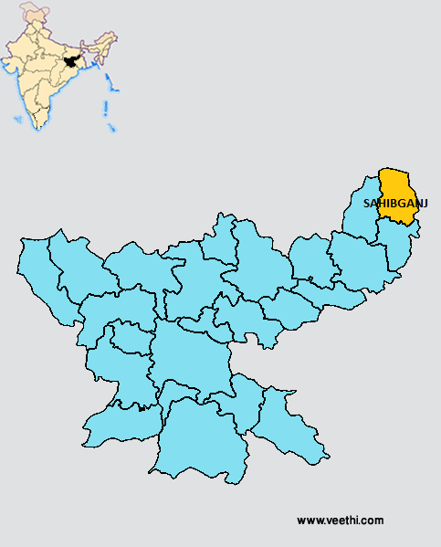
Boundaries of Sahibganj District
North: Bihar
South: Pakur District, Jharkhand
East: West Bengal
West: Godda District, Jharkhand
Sahibganj District Average Rainfall: 1069.3 mm
Sahibganj District Average Temperature in Summer: 30.37 deg C
Sahibganj District Average Temperature in Winter: 17.13 deg C
SAHIBGANJ DISTRICT MAP
Major Rivers: Ganges, Gumani
Sub Divisions: Sahibganj, Rajmahal
Blocks: Sahibganj, Madhuapara, Borio, Berhait Bazar, Tinpahar, Rajmahal, Udhua, Patra, Barharwa
Assembly Constituencies: Borio, Rajmahal, Barhait, Pakaur
Sahibganj District Nearby Attractions
1. Rajmahal
2. Singhi Dalan
3. Akbari Masjid
4. Udhwa Bird Sanctuary
5. Moti Jharna
6. Maghi Mela
7. Tomb of Maina-Bibi
8. Shukravasini Temple
9. Raksisthan
10. Bhoganadih and Panchkathiya
11. Tomb of Miran
12. Mangalhat
13. Kanhaiyasthan
14. Sahibganj
15. Teliagarhi
Sahibganj District Facts: This is one of the 21 most backward districts of Jharkhand that is receiving funds from the Backward Regions Grant Fund Program.
Major Agricultural Products: Paddy, groundnut, soyabean, maize, bajra, mahua, wheat, gram
Major Industries: Handloom weaving, rope making, bidi making, stone ware production
Major Educational Institutions: St. Xavier’s School, St. Joseph School, S.K. University, Trinity’s Angels School, Railway High School, Rajasthan High School
Last Updated : Monday Jun 11 , 2012


