Area: 5228 square kilometers
Density of population: 750 people per square kilometer
Literacy Rate: 58.06 % - Male: 68.16 %, Female: 46.79 %
Male Female Ratio: 1000:906
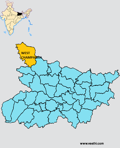
Boundaries of West Champaran District
North and East: Nepal
South: Gopalganj District and East Champaran
West: Uttar Pradesh
West Champaran District Average Rainfall: 1044.44 mm
West Champaran District Average Temperature in Summer: 31.83 deg C
West Champaran District Average Temperature in Winter: 16.52 deg C
WEST CHAMPARAN DISTRICT MAP
Major Rivers: River Gandak
Sub Divisions: Bettiah, Bagaha, Narkatiaganj
Blocks: Bettiah, Sikta, Mainatanr, Chanpatia, Bairia , Lauria, Bagaha-1, Bagaha-2, Madhubani, Gaunaha, Narkatiaganj, Manjhaulia, Nautan, Jogapatti, Ramnagar, Thakraha, Bhitaha, Piparia
Assembly Constituencies: Valmikinagar, Ramnagar, Narkatiaganj, Bagaha, Lauria, Nautan, Chanpatia, Bettiah, Sikta
West Champaran District Nearby Attractions
1. Valmiki Nagar
2. Bank of Triveni
3. Bawangarhi
4. Bhiknatohari
5. Sumeswer
6. Brindavan
7. Bhitiharawa Ashram
8. Nandangarh and Chankigarh
9. Ashoka Pillars
10. Saraiya Man
West Champaran District Facts: It is also known as Bettiah District. NH 28B passes through this district. Gandhi started his Satyagrah Andolan from this place.
Major Agricultural Products: Paddy, sugarcane, cane reeds, potato, maize, arhar
Major Industries: Sugar factories
Fauna: Tiger, panther, leopard, wild pig, nilgai, monkeys, bear, sambhar, bison, wolves, quails and many varieties of snakes, crocodiles and fish
What is West Champaran District Famous For: Crime and smuggling due to its porous border with Nepal
Famous People From West Champaran District: Manoj Bajpayee, Kedar Pandey, Gopal Singh Nepali, Ajay Kumar Rai
West Champaran District Pin Codes
Last Updated : Thursday Jun 14 , 2012


