Date of formation: Supaul District was carved out of Saharsa District on 14th March 1991.
Area: 2425 square kilometers
Density of population: 919 people per square kilometer
Literacy Rate: 59.65 % - Male: 71.65 %, Female: 46.63 %
Male Female Ratio: 1000:925
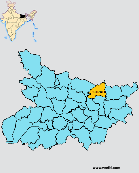
Boundaries of Supaul District
North West and West: Madhubani District, Bihar
South: Madhepura District and Saharsa District, Bihar
North East: Nepal
West: Araria District, Bihar
Supaul District Average Rainfall: 1084.30 mm
Supaul District Average Temperature in Summer: 30.21 deg C
Supaul District Average Temperature in Winter: 16.44 deg C
SUPAUL DISTRICT MAP
Major Rivers: Kosi River
Sub Divisions: Supaul, Birpur, Nirmali, Triveniganj
Blocks: Supaul, Triveniganj, Pipra , Marauna Ansh, Kishunpur , Raghopur , Nirmali, Basantpur , Chhatapur, Saraigarh, Bhaptiyahi, Piprahigot
Assembly Constituencies: Nirmali, Pipra, Supaul, Triveniganj, Chhatapur
Supaul District Facts: It is one of the 36 most backward districts in Bihar and is receiving funds from the Backward Regions Grant Fund Program. NH 57, NH 106 and NH 107 pass through this district.
Major Agricultural Products: Paddy
Major Industrial Products: Plywood and furniture
What is Supaul District Famous For: Frequent floods
Famous People From Supaul District: Freedom fighters Sri Satrughan Babu and Sri Lahtan Chaudhry, Designer Govind Kumar Singh
Last Updated : Thursday Jun 14 , 2012


