Area: 2310 square kilometers
Density of Population: 116 people per square kilometer
Literacy Rate: 80.69 % - Male: 93.20 %, Female: 69.59 %
Male Female Ratio: 1000:1093
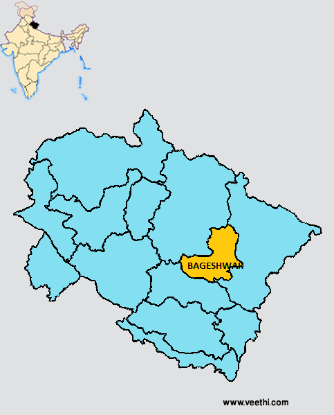
Boundaries of Bageshwar District
North: Chamoli District, Uttarakhand
South East and East: Pithoragarh District, Uttarakhand
South West and West: Almora District, Uttarakhand
Bageshwar District Average Rainfall: 1021.1 mm
Bageshwar District Average Temperature in Summer: 27.35 deg C
Bageshwar District Average Temperature in Winter: 11.48 deg C
BAGESHWAR DISTRICT MAP
Major Rivers: River Saryu, River Gomti
Blocks: Bageshwar, Garur, Kapkot
Assembly Constituencies: Kapkot, Bageshwar
Hills: Bhileswar, Nileshwar, Suraj Kund, Agni Kund
Bageshwar District Nearby Attractions
1. Bagnath Temple
2. Baijnath
3. Chandika Temple
4. Sriharu Temple
5. Gauri Udiyar
6. Sundardunga Glacier
7. Durgakot Glacier
8. Nanda Kund
9. Devikund
10. Kafni Glacier
11. Ashram of Amitji
12. Kukudamai Temple
13. Jwaladevi Temple
Bageshwar District Facts: This is the third least populous district of Uttarakhand after Haridwar and Champawat.
Major Agricultural Products: Rice, mandua, barley, sawan, maize
Fairs and Festivals: Sankasht Chaturthi, Haritali Fast, Doorvashtami, Nanda Ashtami, Ghri Sankranti, Harishayani Ekadashi, Harela, Vishuvati, Vat Savitri Amavasya
What is Bageshwar District Famous For: Its glaciers
Famous People From Bageshwar District: Sumitranandan Pant, Pradeep Tamta
Last Updated : Thursday Jun 14 , 2012


