Area: 5291 square kilometers
Density of population: 230 people per square kilometer
Literacy Rate: 48.20 % - Male: 59.45 %, Female: 37.22 %
Male Female Ratio: 1000:1018
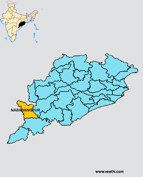
Boundaries of Nabarangpur District
North and West: Chhattisgarh
South: Koraput District, Orissa
East: Kalahandi District, Orissa
Nabarangpur District Average Rainfall: 1486 mm
Nabarangpur District Average Temperature in Summer: 31.6 deg C
Nabarangpur District Average Temperature in Winter: 19.9 deg C
NABARANGPUR DISTRICT MAP
Major Rivers: Indravati River, Telen River, Bhaskal River
Sub Divisions: Nabarangpur
Tehsils: Nabarangpur, Umerkote, Kodinga
Blocks: Nabarangpur Sadar, Umerkote, Raighar , Chandahandi , Papadahandi, Dabugaon, Jharigaon, Tentuli khunti, Kosagumuda, Nandahandi
Assembly Constituencies: Nabarangpur, Dabugan
Nabarangpur District Nearby Attractions
1. Kelia
2. Papadahandi
3. Podagarh
4. Umerkote
5. Sri Nilakantheswar Temple
6. Pendrani Temple
7. Kelia Mahadev Temple
8. Sahid Minar
9. Maa Bhandar Gharani
10. Lord Jagannath Temple
11. Podagada – the ruined fort
Nabarangpur District Facts: It is one of the 19 most backward regions of Orissa that is receiving funds from the Backward Regions Grant Fund Program.
Major Agricultural Products: Paddy, maize, ragi, sugarcane, cowpea, groundnut, niger, mango
Mineral Resources: Iron, chlorite, mica, quartz, limonite, haematite
Flora: Sal, bamboo
Fauna: Panther, leopard, tiger, hyena, jackal, crocodile, peafowl, spotted deer, sambar, barking deer, grey junglefowl, green pigeon, duck
What is Nabarangpur District Famous For: Saiva Shrine of Nilakantheswara
People: Tribal people namely Bhumias, Dombs, Kondhas
Nabarangpur District Pin Codes
Last Updated : Sunday Jun 10 , 2012


