Area: 7951 square kilometers
Density of Population: 41 people per square kilometer
Literacy Rate: 75.98 % - Male: 89.26 %, Female: 62.23 %
Male Female Ratio: 1000:959
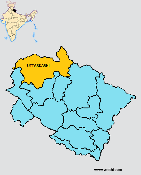
Boundaries of Uttarkashi District
North: Uttarkashi District, Uttarakhand
South: Tehri Garhwal District and Rudraprayag District, Uttarakhand
East: Chamoli District, Uttarakhand and Tibet Autonomous Region
West: Dehradun District, Uttarakhand
Uttarkashi District Average Rainfall: 897.3 mm
Uttarkashi District Average Temperature in Summer: 23.07 deg C
Uttarkashi District Average Temperature in Winter: 7.59 deg C
UTTARKASHI DISTRICT MAP
Major Rivers: Bhagirathi, Yamuna, Kedar Ganga, Jarh Ganga, Assi, Varuna, Kamal River, Tons
Blocks: Bhatwari, Chinyali Sour, Dunda, Maneri, Naugaon, Purola
Assembly Constituencies: Purola, Gangotri, Yamunotri
Major Lakes: Dodital, Nachiketa Lake, Sath Lake, Sahastra Lake, Kedar Lake
Passes: Muling La, Shrang Kanth, Yoga La
Uttarkashi District Nearby Attractions
1. Maneri
2. Gangnani
3. Dodital
4. Dayara Bugyal
5. Harsil
6. Sat-Tal
7. Gangotri
8. Kedartal
9. Nachiketa Tal
10. Gaumukh
11. Nandan-Van Tapovan
12. Yamunotri
13. Harkidoon
14. Karna Temple
15. Someshwar Temple
Major Agricultural Products: Rice, wheat, chulai, oilseeds, apple, orange, guava, pear, apricot, kiwi, mango, papaya
Mineral Resources: Iron, copper, graphite, limestone
Major Industries: Woolen industry, oil refinery, furniture, agro based industries, automobile repairing
Flora: Chir, deodhar, banjh, buransh, boru, bhoj patra
What is Uttarkashi District Famous For: Being a gateway to Gangotri
Famous People From Uttarkashi District: Bachendri Pal, Jaspal Rana, Gurdial Singh, Ganga Prasad Vimal
Last Updated : Thursday Jun 14 , 2012


