Area: 1948 square kilometers
Density of Population: 572 people per square kilometer
Literacy Rate: 49.13 % - Male: 59.55 %, Female: 37.07 %
Male Female Ratio: 1000:875
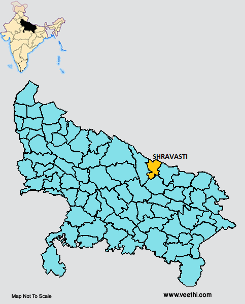
Boundaries of Shravasti District
North East and North West: Nepal
South: Gonda District, Uttar Pradesh
East: Balrampur District, Uttar Pradesh
West: Bahraich District, Uttar Pradesh
Shravasti District Average Rainfall: 863.2 mm
Shravasti District Average Temperature in Summer: 32.89 deg C
Shravasti District Average Temperature in Winter: 15.89 deg C
SHRAVASTI DISTRICT MAP
Major Rivers: Rapti
Tehsils: Biduhni, Ikauna
Blocks: Ekauna, Gilaula, Hariharpur Rani, Jamunaha, Sirsiya
Assembly Constituencies: Bhinga, Ikauna, Charda, Behraich
Shravasti District Nearby Attractions
1. Maha Mangole Temple
2. Maha Veera Temple
3. Maheth
4. Shanti Bell
5. Saheth
6. Pakki Kuti at Maheth
7. Shakti Peeth
8. Gandha Kuti at Maheth
9. Jetvan
Shravasti District Facts: This district has the lowest literacy rate of all districts of Uttar Pradesh. This is a part of Devipatan Division. This is one of the minority concentrated districts in India. This is one of the 34 most backward districts in Uttar Pradesh that is receiving funds from Backward Regions Grant Fund Program.
Major Agricultural Products: Paddy, wheat, pulses, sugarcane
What is Shravasti District Famous For: Archaeological findings
Famous People From Shravasti District: Angulimala, Pasenadi
Last Updated : Tuesday Jun 12 , 2012


