Area: 1166 square kilometers
Density of population: 117 people per square kilometer
Literacy Rate: 78.69 % - Male: 84.86 %, Female: 72.12 %
Male Female Ratio: 1000:941
Boundaries of West Sikkim District
North: North Sikkim District, Sikkim
South: West Bengal
East: South Sikkim District, Sikkim
West: Nepal
West Sikkim District Average Rainfall: 2065.94 mm
West Sikkim District Average Temperature in Summer: 24.20 deg C
West Sikkim District Average Temperature in Winter: 12.22 deg C
WEST SIKKIM DISTRICT MAP

Major Rivers: Rangeet River
Sub Divisions: Gyalshing, Soreng
Assembly Constituencies: Yuksom-Tashiding, Yangthang, Maneybung-Dentam, Gyalshing-Barnyak, Rinchenpong, Salghari-Zoom, Soreng-Chakung, Daramdin
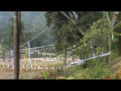
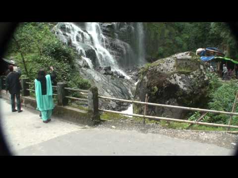
West Sikkim District Nearby Attractions
1. Sanga-Choeling Monastery
2. Legship
3. Biksthang
4. Reshi Hot Springs
5. Soreng
6. Rinchenpong
7. Dudbi Monastery
8. Phamrong Waterfall
West Sikkim District Facts: The region gets uninterrupted power from many power projects situated here. It experiences frequent landslides making the roods poor. The region at high altitude is filled with rhododendron forests.
Major Agricultural Products: Ginger, tomato, vegetables, paddy, cardamom
What is West Sikkim District Famous For: Trekking
West Sikkim District Pin Codes
Last Updated : Friday Jun 15 , 2012