Date of Formation:
Area: 1674 square kilometers
Density of Population: 285 people per square kilometer
Literacy Rate: 68.69 % - Male: 81.04 %, Female: 54.80 %
Male Female Ratio: 1000:890
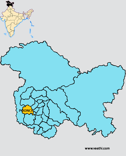
Boundaries of Poonch District
North: Baramulla District, Jammu and Kashmir
South: Rajouri District, Jammu and Kashmir
East: Kulgam District, Shopian District, Jammu and Kashmir
West: Kashmir Region
Poonch District Average Rainfall: 929.2 mm
Poonch District Average Temperature in Summer: 31.23 deg C
Poonch District Average Temperature in Winter: 10.96 deg C
POONCH DISTRICT MAP
Major Rivers: River Poonch
Tehsils: Haveli, Maidan, Mahara, Surankot
Blocks: Balakote, Bafliaz, Maidan, Marhote, Poonch, Surankot
Assembly Constituencies: Surankot, Mendhar, Poonch Haveli
Poonch District Nearby Attractions
1. Noori Chamb
2. Poonch Fort
3. Girgan Dhok
4. Loran
5. Behramgala
6. Mandi
7. Surankote
8. Dehra Gali
9. Nandi Shool
10. Gurudwara Nangali Sahib
11. Ziarat Pir Fazal Shah Sahib
12. Ramkund Mandir
Poonch District Facts: It is one of the three most backward districts of Jammu and Kashmir that is receiving funds from the Backward Regions Grant Fund Program. During the partition of India and Pakistan, Poonch was divided into two and one part went to Pakistan and the other was retained with India.
What is Poonch District Famous For: Cross border tensions and military activities
Famous People From Poonch District: Surankote, Mendhar, Poonch Haveli
Last Updated : Thursday Jun 14 , 2012


