Area: 8249 square kilometers
Density of Population: 119 people per square kilometer
Literacy Rate: 86.27 % - Male: 90.11 %, Female: 81.84 %
Male Female Ratio: 1000:878
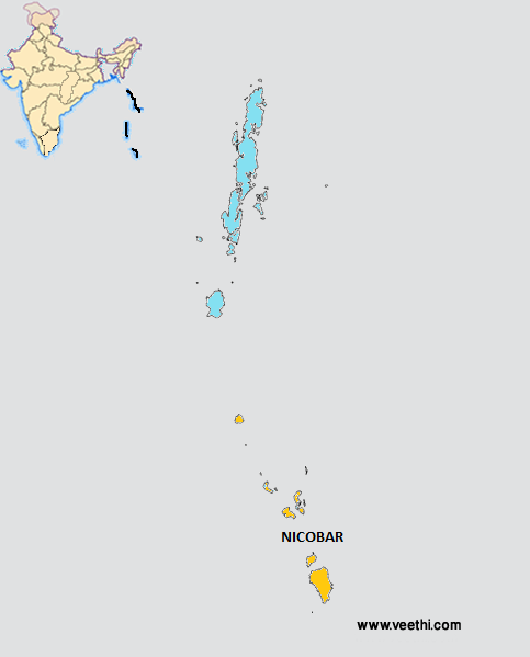
Location of Nicobar District
Nicobar Islands is located at a distance of 1300 kilometers southeast of India and these islands together with Andaman form the Union Territory of India. These islands are divided into three groups, northern group, central group and southern group.
Northern Group: Car Nicobar, Battimaly
Central Group: Chaura, Teressa, Bompuka, Katchal, Camorta, Nancowry, Trinket, Laouk, Tillangchong
Southern Group: Great Nicobar, Little Nicobar, Kondul, Pulo Milo, Meroe, Trak, Tries, Menchal, Pigeon, Kabra, Megapod
Nicobar District Average Rainfall: 2800 mm
Nicobar District Average Temperature in Summer: 22 deg C
Nicobar District Average Temperature in Winter: 29 deg C
NICOBAR DISTRICT MAP
Blocks: Car Nicobar, Nancowry
Nicobar District Nearby Attractions
1. Car Nicobar
2. Katchal
3. Trinket
4. Great Nicobar Biosphere Reserve
Nicobar District Facts: The southernmost point of Nicobar District is Indira Point, located 150 kilometers north of Sumatra. The main island is Great Nicobar.
Major Agricultural Products: Coconuts, pandanus, areca nut palms, bananas, mangoes
Major Occupations: Fishing, pottery making, making canoes, agriculture, horticulture
Languages Spoken: Mon, Khmer, Vietnamese, Shompen
Fauna: Nicobar scrubfowl, Nicobar long tailed macaque, saltwater crocodile, giant leatherback sea turtle, Malayan box turtle, reticulated python, giant robber crab
Last Updated : Thursday Jun 14 , 2012


