Date of formation: July 1949
Area: 2208 square kilometers
Density of population: 896 people per square kilometer
Literacy Rate: 96.40 % - Male: 97.17 %, Female: 95.67 %
Male Female Ratio: 1000:1040
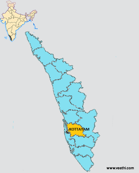
Boundaries of Kottayam District
North: Ernakulam District, Kerala
South: Alappuzha District, Pathanamthitta District, Kerala
East: Idukki District, Kerala
West: Vembanad Lake
Kottayam District Average Rainfall: 3600 mm
Kottayam District Maximum Temperature in Summer: 38.5 deg C
Kottayam District Minimum Temperature in Winter: 15 deg C
KOTTAYAM DISTRICT MAP
Major Rivers: Meenachil River, Muvattupuzha River, Manimala River
Taluks: Changanacherry, Kanjirappally, Kottayam, Meenachil, Vaikom
Assembly Constituencies: Puthuppally, Changanacherry, Ettumanoor, Kaduthuruthy, Kanjirappally, Kottayam, Palai, Poonjar, Vaikom
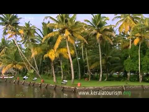
Kottayam District Nearby Attractions
1. Vembanad Lake
2. Pathiramanal
3. Kumarakom
4. Vagamon
Kottayam District Facts: This was announced as the first tobacco free district in India on 27th September 2008.
Major Agricultural Products: Rubber, coconut, pepper, vegetables, tapioca
Major Industries: Hindustan Newsprint at Velloor, Travancore Cements at Nattakom, St. Mary’s Rubbers Ltd, MRF Ltd at Vadavathoor
Famous People From Kottayam District: Vaikom Muhammad Basheer, Mammootty, Manoj K. Jayan, P. K. Vasudevan Nair, Janaki Ramachandran, Oommen Chandy, Johny Antony, G. Aravindan
Last Updated : Thursday Jun 14 , 2012