Date of Formation: Koderma District was carved out of Hazaribagh District on 10th April 1994.
Area: 1680 square kilometers
Density of Population: 427 people per square kilometer
Literacy Rate: 68.35 % - Male: 81.25 %, Female: 54.77 %
Male Female Ratio: 1000:949
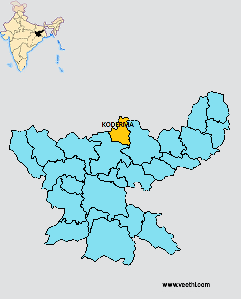
Boundaries of Koderma District
North: Bihar
South and West: Hazaribagh District, Jharkhand
East: Giridih District, Jharkhand
Koderma District Average Rainfall: 954.4 mm
Koderma District Average Temperature in Summer: 31.30 deg C
Koderma District Average Temperature in Winter: 16.04 deg C
KODERMA DISTRICT MAP
Major Rivers: Sakri, Barakar, Ghaggnna Nadi, Chhotanari Nadi, Poanchkhara, Keso, Akto, Gurio, Gukhana Nadi, Telaiya
Sub Divisions: Koderma
Blocks: Koderma, Jainagar, Markacho, Satgawan, Chhatarbar, Domchanch
Assembly Constituencies: Koderma, Barkatha
Koderma District Nearby Attractions
1. Jhumri Tilaiya
2. Tilaiya Dam
3. Saint Paramhans Baba Tomb
4. Makamaro Hills
5. Shaktipeeth Maa Chanchala Devi
6. Urwan Tourist Complex
7. Dhwajadhari Hill (Pahari)
8. Satagawan Petro falls
Koderma District Facts: This is one of the 21 most backward districts of Jharkhand that is receiving funds from the Backward Regions Grant Fund Program. Koderma was known as Mica Capital of India. NH 31 passes through this district.
Major Agricultural Products: Maize, arhar, ragi, radish, tomato, potato, wheat, mustard, linseed
Flora: Mahua, banyan, sakhua, palas, pipal, neem, khajoor, bamboo
Fauna: Leopard, bear, pig, hiran, hares, monkey, antelope, jackal, bear, deer
What is Koderma District Famous For: Forest resources and Mica
Last Updated : Monday Jun 11 , 2012
-19803.jpg "Koderma ICICI Pru Team Tilaiya Branch")


