Date of Formation: Kargil District was carved out of Ladakh District in July 1979.
Area: 14,036 square kilometers
Density of Population: 10 people per square kilometer
Literacy Rate: 74.49 % - Male: 86.73 %, Female: 58.05 %
Male Female Ratio: 1000:775
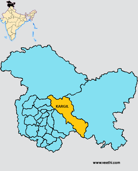
Boundaries of Kargil District
North: Kashmir Region
South: Himachal Pradesh
East: Leh District, Jammu and Kashmir
West: Kishtwar District, Ganderbal District and Bandipora District, Jammu and Kashmir
Kargil District Average Rainfall: 621.0 mm
Kargil District Average Temperature in Summer: 15.54 deg C
Kargil District Average Temperature in Winter: 2.46 deg C
KARGIL DISTRICT MAP
Major Rivers: Zanskar River
Taluks: Kargil, Zanskar, Sankoo
Blocks: Dras, Gund Manglpur, Kargil, Lankarche, Shakar, Sankoo, Saleskot, Taisuru, Zangla
Assembly Constituencies: Kargil, Zanskar
Valleys: Suru Valley, Drass Valley, The Indus Valley, Upper Singh Valley, Kanji Nallah Valley
Glaciers: Lalung Glacier, Shafat Glacier, Parkachik Glacier
Kargil District Nearby Attractions
1. Zanskar
2. Sani Monastery
3. Rangdum Monastery
4. Karsha Monastery
5. Stongday Monastery
6. Phugthal Monastery
7. Shargole Monastery
8. Padum
9. Zangla
10. Phoker
11. Mulbekh Chamba and Monastery
Kargil District Facts: This is the least populous district of Jammu and Kashmir as of 2011. NH 1D passes though this district. This is the only district in the country with Karakul sheep farm.
Major Agricultural Products: Wheat, grim, barley, pulses, vegetables, fodder, black zeera
Major Occupations: Livestock rearing, farming and sheep husbandry
What is Kargil District Famous For: Kargil War 1999
Last Updated : Friday Jun 15 , 2012


