Date of Formation: Gariyaband District was carved out of Raipur District on 1st January 2012.
Area: 4220 square kilometers
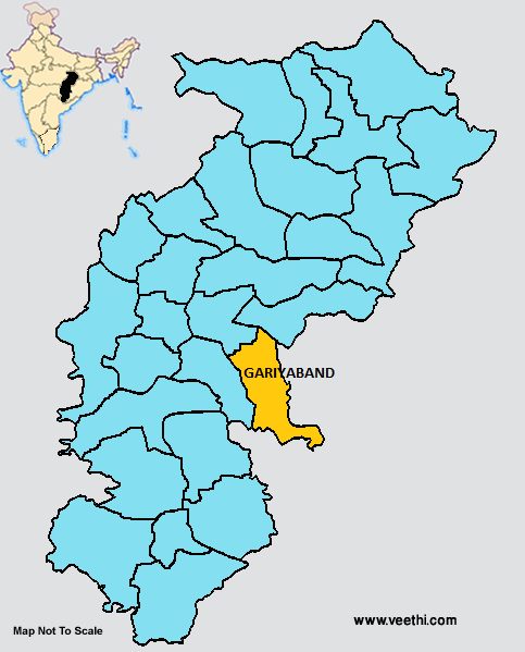
Boundaries of Gariyaband District
North: Raipur District and Gariyaband District, Chhattisgarh
South and East: Orissa
West: Dhamtari District, Chhattisgarh
Gariyaband District Average Rainfall: 1217 mm
Gariyaband District Average Temperature in Summer: 33 deg C
Gariyaband District Average Temperature in Winter: 20 deg C
GARIYABAND DISTRICT MAP
Blocks: Chhura, Deobhog, Fingeshwar, Gariyaband, Mainpurkalan
Nagar Panchayats: Gariaband, Chhura, Phingeswar, Rajim
Gariyaband District Facts: This district was created to eradicate backwardness of the tribal people living here. The separate revenue unit formed here is focused to bring prosperity to the people of this region. The rich natural resources and diamond resources are expected to speed up the progress in the economy of the district.
This district has 690 villages and 306 gram panchayats. 67% of the total land area of Gariyaband district is covered by forests.
What is Gariyaband District Famous For: Diamond resources
People of Gariyaband District: Kamar Tribes and Bhunjia Tribes
Last Updated : Thursday Jun 14 , 2012


