Date of formation: Kishanganj District was formed on 14th January 1990.
Area: 1884 square kilometers
Density of population: 898 people per square kilometer
Literacy Rate: 57.04 % - Male: 65.56 %, Female: 47.98 %
Male Female Ratio: 1000:946
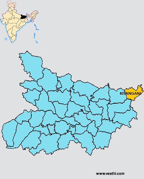
Boundaries of Kishanganj District
North: Nepal
South West: Purnia District, Bihar
East and South East: West Bengal
West: Araria District, Bihar
Kishanganj District Average Rainfall: 1402.25 mm
Kishanganj District Average Temperature in Summer: 29.27 deg C
Kishanganj District Average Temperature in Winter: 16.24 deg C
KISHANGANJ DISTRICT MAP
Major Rivers: River Mahananda, Kankai, Mechi, Donk, Ratua, Ramzan Sudhani
Sub Divisions: Kishanganj
Blocks: Kishanganj, Kochadhamin, Bahadurganj, Terhagachhi, Dighal Bank, Thakurganj, Pothia
Assembly Constituencies: Bahadurganj, Thakurganj, Kishanganj, Kochadhamin
Kishanganj District Nearby Attractions
1. Ruins of Churli Estate
2. Hargauri Temple
3. Bandarjoola
4. Kachauudah Lake
Kishanganj District Facts: It is one of the 36 most backward districts in Bihar and is receiving funds from the Backward Regions Grant Fund Program. NH 31 passes through this district.
Major Agricultural Products: Paddy, wheat, maize, jute
Major Industries: Jute mills, plywood industry, poultry farming, tea processing, silk industry
Major Educational Institutions: Azad National College, Sushilahari Inter college, Future Institute of IT, Alim Public School, New Ideal Public School, Madarsa Samadia Fulwari, Bal Mandir Senior Secondary School
Last Updated : Thursday Jun 14 , 2012


