Date of formation: Katihar District was carved out of Purnia District in 1973.
Area: 3057 square kilometers
Density of population: 1004 people per square kilometer
Literacy Rate: 53.56 % - Male: 60.99 %, Female: 45.37 %
Male Female Ratio: 1000:916
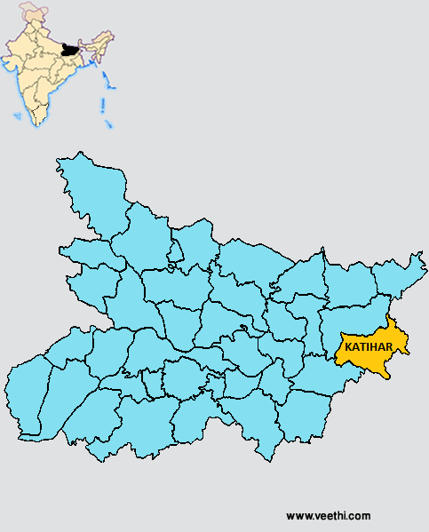
Boundaries of Katihar District
North and West: Purnia District, Bihar
South: Jharkhand
East: West Bengal
South West: Bhagalpur District, Bihar
Katihar District Average Rainfall: 1032.62 mm
Katihar District Average Temperature in Summer: 29.86 deg C
Katihar District Average Temperature in Winter: 16.39 deg C
KATIHAR KHAGARIA DISTRICT MAP
Major Rivers: Mahananda River, Ganga River, Koshi River
Sub Divisions: Barsoi, Katihar Sadar, Manihari
Blocks: Katihar, Warsoi, Kadwa , Amdabad, Manihari, Balrampur, Korha, Falka, Alamnagar, Barari, Pranpur, Mansahi, Samaili, Kursaila, Hasanganj, Dandkhora
Assembly Constituencies: Katihar, Kadwa, Balrampur, Pranpur, Manihari, Barari, Korha
Katihar District Nearby Attractions
1. Goga Lake
2. Gandhi Ghar
3. Bhairav Nath
4. Gurudwara
5. Pir Mazar
6. Satsang Mandir
7. Gauri Shankar
8. Durga Mandir
Katihar District Facts: It is one of the 36 most backward districts in Bihar and is receiving funds from the Backward Regions Grant Fund Program. NH 31 and NH 81 pass through this district.
Major Agricultural Products: Paddy, jute
Major Industrial Products: Jute, paper
What is Katihar District Famous For: Railway Junctions where seven railway lines meet
Last Updated : Thursday Jun 14 , 2012


