Area: 3576 square kilometers
Density of Population: 113 people per square kilometer
Literacy Rate: 98.50 % - Male: 99.01 %, Female: 98.00 %
Male Female Ratio: 1000:1009
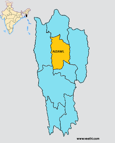
Boundaries of Aizawl District
North: Kolasib District, Mizoram
South: Serchhip District, Mizoram
East: Champhai District, Mizoram
West: Mamit District, Mizoram
Aizawl District Average Rainfall: 2859 mm
Aizawl District Average Temperature in Summer: 27.37 deg C
Aizawl District Average Temperature in Winter: 18.87 deg C
AIZAWL DISTRICT MAP
Major Rivers: Chite River, Tlawng River, Tuirial, Tuirini, Tuivawl, Tuivai, Mat
Blocks: Aibawk, Darlawn, Phullen, Thingsulthliah, Tlangnuam
Assembly Constituencies: Tuivawl, Chalfilh, Tawi, Aizawl North I, Aizawl North II, Aizawl North III, Aizawl East I, Aizawl East II, Aizawl West I, Aizawl West II, Aizawl West III, Aizawl South I, Aizawl South II, Aizawl South III
Aizawl District Nearby Attractions
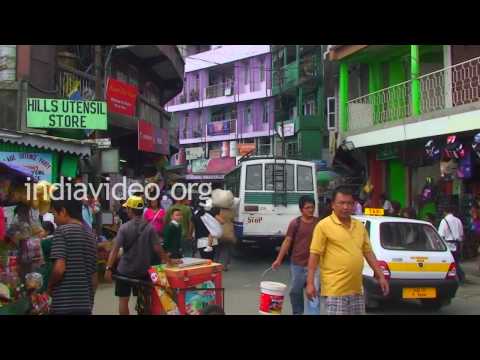
1. Bara Bazar
2. Luangmual Handicrafts Center
3. Mizoram State Museum
4. Durtlang Hills
5. Mini Zoo
6. Berawtlang Tourist Complex
7. Bung
8. Tamdil
9. Dampa
Aizawl District Facts: This is the most populous district of Mizoram. The major newspapers in this region are Vanglaini, The Zozam Times and The Aizawl Post.
Major Agricultural Products: Sugarcane, rice, mustard, soybean, chow chow, turmeric, lemon, ginger, pepper, banana, papaya
Fauna: Swamp deer, tiger, leopard, elephant, hoolock gibbon
What is Aizawl District Famous For: Handicrafts
Famous People From Aizawl District: H. T. Sangliana
Best Time To Visit Aizawl: October to March
Last Updated : Thursday Jun 14 , 2012