Area: 4562 square kilometers
Density of population: 366 people per square kilometer
Literacy Rate: 75.16 % - Male: 84.89 %, Female: 63.88 %
Male Female Ratio: 1000:865
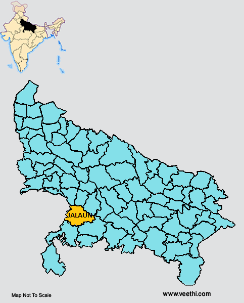
Boundaries of Jalaun District
North: Etawah District and Auraiya District, Uttar Pradesh
North East: Ramabai Nagar District, Uttar Pradesh
South: Lalitpur District, Uttar Pradesh
South East: Hamirpur District, Uttar Pradesh
West: Madhya Pradesh
Jalaun District Average Rainfall: 737.6 mm
Jalaun District Average Temperature in Summer: 34.28 deg C
Jalaun District Average Temperature in Winter: 15.31 deg C
JALAUN DISTRICT MAP
Major Rivers: Yamuna, Betwa, Baragaon, Dhasaan, Barma, Ken, Chandraval, Pandwaha
Blocks: Dakor, Jalaun, Kadaura, Konch, Kuthaund, Madhogarh, Maheva, Nadigaon, Rampura
Assembly Constituencies: Madhaugadh, Kalpi, Orai
Jalaun District Nearby Attractions
1. Rampura Fort
2. Madhogarh
Jalaun District Facts: This is a part of Jhansi Division.
Major Agricultural Products: Wheat, moong, pea, lentil, gram, arhar, jowar, bajra, mango, mentha, mango, mushrooms
Major Industries: Handloom industries, dairy industries, agro food processing
What is Jalaun District Famous For: Historical Fort at Rampura
Famous People From Jalaun District: Phoolan Devi, Chandrapal Singh Yadav, Narendra Mohan, Bhanu Pratap Singh Verma
Last Updated : Tuesday Jun 12 , 2012


