Area: 2982 square kilometers
Density of population: 1081 people per square kilometer
Literacy Rate: 73.82 % - Male: 85.19 %, Female: 61.72 %
Male Female Ratio: 1000:933
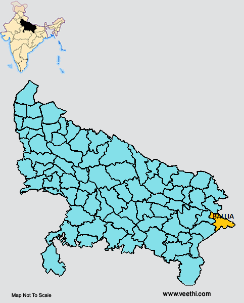
Boundaries of Ballia District
North East, East and South: Bihar
North West: Deoria District, Uttar Pradesh
West: Ghazipur District and Mau District, Uttar Pradesh
Ballia District Average Rainfall: 779.8 mm
Ballia District Average Temperature in Summer: 33.60 deg C
Ballia District Average Temperature in Winter: 16.57 deg C
BALLIA DISTRICT MAP
Major Rivers: River Ganges, River Ghaghara
Tehsils: Ballia, Rasra, Bairiya, Sikandarpur, Belthara
Blocks: Bairia, Bansdih, Belhari, Beruarwari, Chilkahar, Dubhar, Garwar, Hanumanganj, Maniar, Murli Chhapra, Nagra, Navanagar, Pandah, Rasra, Reoti, Siar, Baraura-(sohanw)
Assembly Constituencies: Belthara Road, Rasara, Sikanderpur, Phephana, Ballia Nagar, Bansdih, Bairia
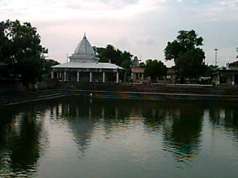
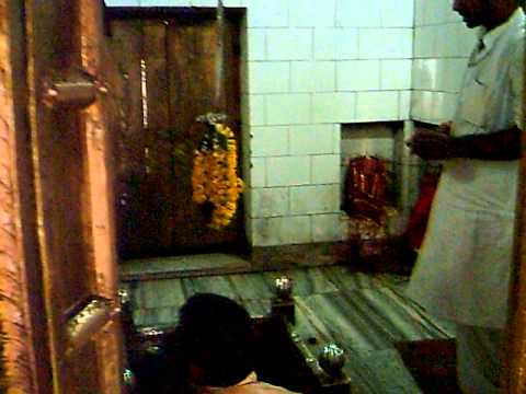
Ballia District Nearby Attractions
1. Maharshi Bhrigu Mandir
2. Jangli Baba Temple
3. Shri Baleshwer Mandir
4. Habib Manzil
5. Panchmandir
6. Narhari Das Kuti
7. Hanuman Mandir
8. Pachrukha Devi Temple
9. Kameshwar Nath Dham
10. Shahid Smarak
11. Mata Kapilashwari Bhawani Mandir
12. Suaha Tal Lake
Ballia District Facts: This district is a part of Azamgarh Division.
Major Agricultural Products: Wheat, barley, jowar, bajra, maize, gram, potato
Major Industries: Sugar mill, cotton weaving industry
What is Ballia District Famous For: Bindi Industry
Famous People From Ballia District: Chittu Pandey, Mangal Pandey, Sandeep Pandey, Arshadul Qaudri, Gauri Shankar Rai, Janardhan Chaturvedi, Murli Manohar, Acharya Baldev Upadhyaya, Nushoor Wahidi
Last Updated : Tuesday Jun 12 , 2012