Area: 4560 square kilometers
Density of population: 445 people per square kilometer
Literacy Rate: 77.93 % - Male: 86.28 %, Female: 68.29 %
Male Female Ratio: 1000:862
Boundaries of Gwalior District
North East: Bhind District, Madhya Pradesh
North West: Morena District, Madhya Pradesh
South: Shivpuri District, Madhya Pradesh
East: Sheopur District, Madhya Pradesh
Gwalior District Average Rainfall: 737.5 mm
Gwalior District Average Temperature in Summer: 33.95 deg C
Gwalior District Average Temperature in Winter: 15.52 deg C
GWALIOR DISTRICT MAP
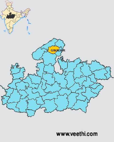
Major Rivers: Chambal River
Tehsils: Gwalior, Bhitarwar, Dabra
Assembly Constituencies: Bhitarwar, Dabra, Gwalior, Gwalior East, Gwalior Rural, Gwalior South
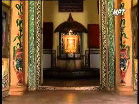
Gwalior District Nearby Attractions
1. Gwalior Fort
2. Gujari Mahal
3. Man Mandir Palace
4. Ghaus Mohammed’s Tomba
5. Man Mandir Palace
6. Gurudwara Data Bandhi Chhod
7. Gopachal
8. Sun Temple
9. Sarod Ghar
10. Jai Vilas Palace and Museum
Gwalior District Facts: Gwalior served as the summer capital of Madhya Bharat state from 1948 to 1956. Gwalior is called the tourist capital of Madhya Pradesh. It is the fourth largest city in the state.
Major Agricultural Products: Pearl millet, paddy, sorghum, black gram, green gram, pigeon pea, sesame, soybean
Major Industrial Products: Cotton, yarn, paint, ceramics, chemicals, leather products
What is Gwalior District Famous For: Gwalior Fort
Famous People From Gwalior District: Atal Bihari Vajpayee, Kiran Chopra, Naushad Ali, Hindu Rao, Amzad Ali Khan, Javed Akhtar, Bihari Lal
Last Updated : Friday Jun 15 , 2012