Date of formation: Barwani District was carved out of West Nimar, Khargone District on 25th May 1998.
Area: 5422 square kilometers
Density of population: 256 people per square kilometer
Literacy Rate: 50.23 % - Male: 57.32 %, Female: 43.07 %
Male Female Ratio: 1000:981
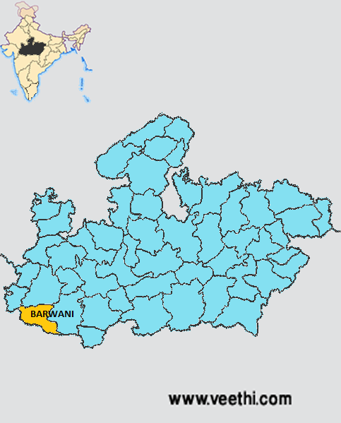
Boundaries of Barwani District
North: Dhar District, Madhya Pradesh
South: Satpura Range and Maharashtra
East: Khargone District, Madhya Pradesh
West: Gujarat
Barwani District Average Rainfall: 796 mm
Barwani District Average Temperature in Summer: 33 deg C
Barwani District Average Temperature in Winter: 21.25 deg C
BARWANI DISTRICT MAP
Major Rivers: Narmada, Goi, Kharka, Deb, Tapti
Tehsils: Barwani, Pati, Sendhwa, Pansemal, Niwali, Thikri, Rajpur
Assembly Constituencies: Amla, Betul, Bhainsdehi, Ghoda Dongri Ryt, Multai
Barwani District Nearby Attractions
1. Bawangaja
2. Beejasan
3. Anjad
4. Bhawar Garh
Barwani District Facts: It is one of the 24 most backward districts of Madhya Pradesh that is getting funds from the Backward Regions Grant Fund Program.
Major Agricultural Products: Jowar, corn, soybean, peanut, cotton
Major Industrial Products: Electronic products, heavy machineries
What is Barwani District Famous For: Cotton ginning industry
Famous People From Barwani District: Makhansingh Solanki
Last Updated : Friday Jun 15 , 2012


