Date of formation: Anuppur District was carved out of Shahdol District on 15th August 2003.
Area: 3747 square kilometers
Density of population: 200 people per square kilometer
Literacy Rate: 69.08 % - Male: 80.05 %, Female: 57.89 %
Male Female Ratio: 1000:975
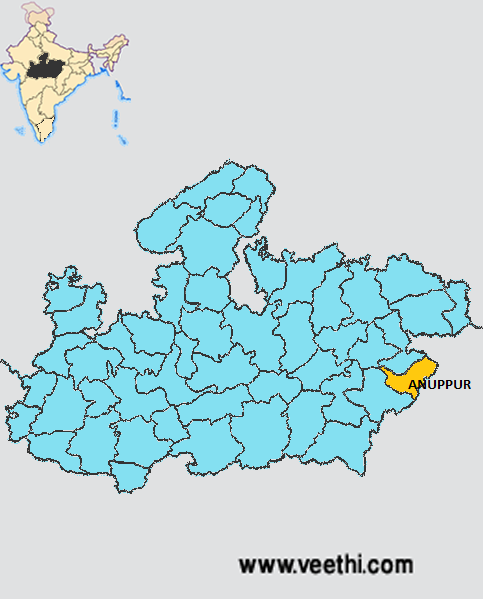
Boundaries of Anuppur District
North and North West: Shahdol District, Madhya Pradesh
South East: Bilaspur District, Chattisgarh
South West: Dindori District, Madhya Pradesh
East: Koriya District, Chattisgarh
West: Umaria District, Madhya Pradesh
Anuppur District Average Rainfall: 1235 mm
Anuppur District Average Temperature in Summer: 31.6 deg C
Anuppur District Average Temperature in Winter: 18.2 deg C
ANUPPUR DISTRICT MAP
Major Rivers: Narmada, Son, Johilla River, Kewai, Tipan
Tehsils: Anuppur, Jaithari, Kotma, Pushprajgarh
Assembly Constituencies: Anuppur, Kotma, Pushprajgarh
Hills: Amarkantak Hills, Maikal Hills
Anuppur District Nearby Attractions
1. Amarkantak
2. Narmada Temple
3. Mahendranath Temple
4. Patleshwar Temple
5. Mai Ka Bagiya
6. Sonmuda
7. Bhrigumandal
8. Kabir Chabutra
9. Jwaleshwar Mahadev
10. Kapildhara
11. Dudhdhara
12. Shambudhara and Durgadhara
13. Sarvodya Jain Temple
Anuppur District Facts: Most of the areas of this district are covered by hills and forests.
Major Agricultural Products: Paddy, wheat, maize, gram
Major Industries: Paper mill, soda factory, bidi factory, polythene, basket industry
Mineral Resources: Coal, Bauxite, Fire Clay
Forest Resources: Amla, Teak, Sal, Sarai, Shisham
What is Anuppur District Famous For: Amarkantak Hill
Famous People From Anuppur District: Omkar Singh, Rajesh Nandini, Singh
Last Updated : Friday Jun 15 , 2012


