Area: 45,110 square kilometers
Density of Population: 3 people per square kilometer
Literacy Rate: 80.48 % - Male: 89.39 %, Female: 64.52 %
Male Female Ratio: 1000:583
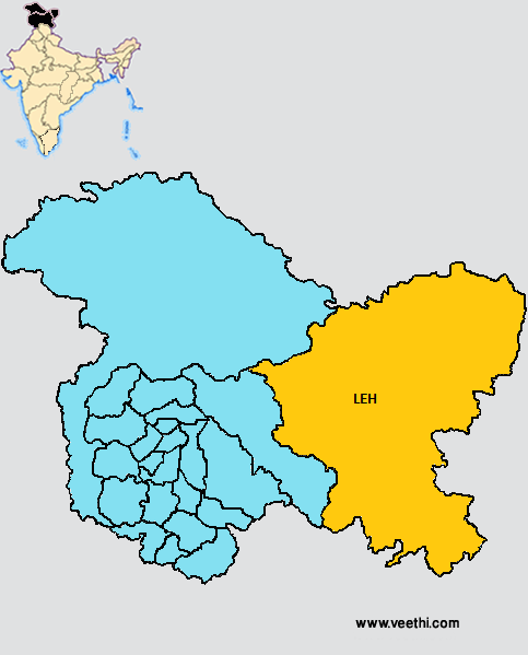
Boundaries of Leh District
North, East and South East: Tibet Autonomous Region
South West: Himachal Pradesh
West: Kargil District, Jammu and Kashmir
Leh District Average Rainfall: 324.9 mm
Leh District Average Temperature in Summer: 10.23 deg C
Leh District Average Temperature in Winter: 1.50 deg C
LEH DISTRICT MAP
Major Rivers: Astor River, Gurtang, Shaksgam, Chang Celmo, Hispar, Shigar, Chapursain, Hunza, Shimshal
Tehsils: Nobra, Khalsi, Leh, Kharu, Durubk, Nyoma
Blocks: Chuchat Yakma, Durbuk, Diskit, Leh, Nobra, Nyoma, Pangong, Saboo
Assembly Constituencies: Nobra, Leh
Lakes and Glaciers: Kyaghr Lake, Rakaposhi Glacier, Biafo Glacier, Nubra Glacier, Parang Glacier, Tso Morari Lake, Tsokar Lake, Saltoro Glacier, Chong Kumdan Glacier, Pangong Tso, Tso Kar, Gasherbrum Glacier
Monasteries: Stock Place, Shey Place, Tresthang, Thiksay, Stakna, Hemis, Chemday, Takthok, Matho, Spituk, Phyang, Rizong, Likir, Alchi, Lamayuru, Zongkul, Bardan, Stongde, Lamayuru
Leh District Nearby Attractions
1. Leh Palace
2. Old Castle Tsemo Hill
3. Shey Palace
4. Stupa at T-Suru
5. Sculpture at Drass
6. Rock Cut Sculpture at Mulbekh
7. Lamayuru Monastery
8. Likir Monastery
9. Phyang Monastery
10. Hemis Monastery
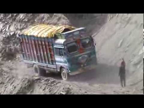
Leh District Facts: Kargil District was created out of it on 1st July 1979. This is the second least populous district of Jammu and Kashmir after Kargil District as of 2011. Leh Manali Highway connects this place with Manali and the Sringar Leh Highway connects with Srinagar.
Major Agricultural Products: Barley, vegetables, apple, apricot, grim
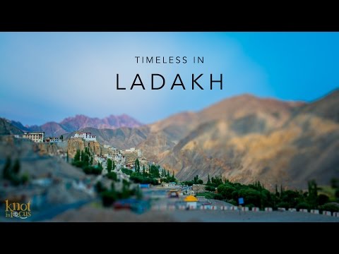
What is Leh District Famous For: Its natural beauty
Famous People From Leh District: Thupstan Chhewang, Thinlas Chorol, Chewang Norphel, Tsewang Paljor
Last Updated : Thursday Jun 14 , 2012